Stay logged in to proceed with bookings, orders and offers.
On changing the terminal, you will loose items in your cart. Are you sure you want to change your terminal?
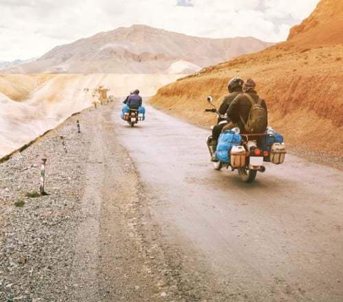
Enjoy a daredevil drive through the mountainous Manali-Leh Highway.
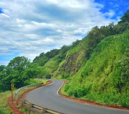
From Manali, the route towards Rohtang La via Marhi was a steady ascent through green mountains with streaks of snow still there. Paragliders swooned in the sky between Solang Valley to Marhi. The hired Scorpio zoomed by Rohtang Pass, where a crowd of vacationers had just started to gather. The high altitude of 13,000 feet hardly affected me as I had already acclimatised in Spiti Valley for two weeks. Since I was already in the vicinity, I decided to head to Hanle via Leh, on a solo trip. However, this was my first time entering Ladakh through the Manali-Leh Highway. Usually this was my exit route, reason being—the Srinagar-Leh Highway route is better for acclimatisation.
From Gramphu, the car turned left, opposite the diversion that had brought me from Spiti Valley, the day before. The back-breaking road follows an otherwise beautiful route by the Chandra River and passes the verdant town of Sissu on the way. At Tandi, a signboard by Indian Oil declared the next filling station at 365 km ahead. Having travelled on this route earlier (from the opposite end), I knew they were referring to the one located between Stakna and Karu. There's a dearth of petrol pumps along the the Manali-Leh Highway. So make it a priority to refuel here. While my driver refuelled, I walked about a kilometre ahead to see the confluence of the Chandra and Bhaga rivers. While Bhaga River originates from Suraj Taal, Chandra originates from a glacier near Chandratal. They merge at Tandi, forming the Chandrabhaga River. Chandrabhaga is known as Chenab when it passes through the Jammu region into the Punjab Province of Pakistan. We soon exited Chandra Valley towards Keylong, which has the last ATM on the Manali-Leh Highway. If you have not already withdrawn cash at Manali, this is your last chance before reaching Leh.
After 6 hours on the road, I was at Jispa for a night halt. A stay in Sarchu is more feasible on the reverse route as you will already be well acclimatised. However, while ascending, sleeping the first night at Sarchu, at an altitude of 14,000-feet, is a bad idea. The most appropriate elevation for acclimatisation is between 8,000 feet to 9,000 feet. Only Kargil on the Srinagar-Leh Highway meets that criterion. However, if you enter Ladakh through the Manali-Leh Highway, Jispa at 10,500 feet is a better stop than Sarchu. Jispa, as I witnessed it during the summer, was a green paradise with flowers in bloom. Later that night, from my hotel balcony, I could see the glistening Bhaga River and the snow-capped mountains shimmer in the moonlight.
The next day's drive started with a brief stop at the police checkpoint at Darcha, so that we could register our entry into the Manali-Leh Highway—a mandatory procedure. Darcha is also a good place for refreshments, if you haven't already had breakfast at Jispa. Soon after, we passed Zingzingbar. The crossing of the nullah was effortless this time because of the bridge built by the BRO. It was a change from the challenge of driving through the glacial melts. As we reached the base of Baralacha La, we were delighted to encounter the source of the Bhaga River, the stunning emerald-colored Suraj Tal. I have heard stories of Acute Mountain Sickness (AMS) at Baralacha Pass, and this time I witnessed that in fellow travellers. Fainting and vomiting are some symptoms that hit people ascending towards Leh, through the highway. Not halting here for very long is the only way to battle the 16,000 feet altitude. An hour after the descent, we were finally approaching Sarchu. In Sarchu, barren mountains surround a straight stretch of road. State-wise, this was still Himachal Pradesh, but borders are a creation of humans, and the landscape felt like Ladakh, devoid of the green Himachali mountains.
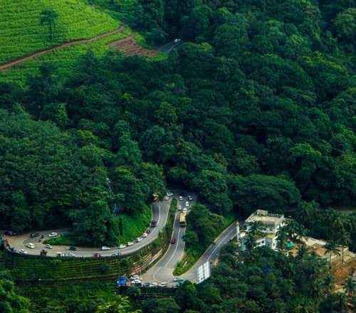
Soon after, we crossed the state border and entered Ladakh. In another 25 km, Ladakh threw its first challenge our way—the Gata Loops and its 21 hairpin bends. The tale of the ghost of Gata Loops always makes for good storytelling while traversing these turns and bends. Many winters ago, a truck driver and his helper were stranded here when their truck broke down. After the driver went to seek help, heavy snowfall blocked the Baralacha La and Nakee La passes, making Gata Loops inaccessible from both sides. The helper who stayed behind guarding the cargo truck perished before help arrived. His thirsty spirit allegedly still begs for water from passing vehicles. At the risk of being haunted by his ghost on my next trip, I would suggest against leaving plastic water bottles at his memorial. It only harms the fragile environment in the name of appeasing the ghost. Past Gata Loop, we zoomed across two consecutive passes. From Nakee La to Lachulung La, the elevation increases by another 1,000 feet, making breathlessness more common. The landscape is barren and desolate yet breathtaking—typical of Ladakh.
The first major stop of the day came at Pang for some much-needed refreshments. Pang has a few makeshift dhabas and an army transit camp. For me, the highlight of this route is what comes after Pan—the Moore Plains. Also known as Morey Plains, this vast stretch of plain land exists at a very high altitude. A straight-as-an-arrow tar road runs through it, with towering mountains bordering it on both sides. The 40 km drive is exhilarating amid the raw beauty of the landscape. Moreover, the chance of spotting wildlife like Kiangs or Marmots make Moore Plains more appealing. Varying shades of the nude-toned mountains reminded me of why I fell in love with this region, years ago. Instead of taking the Tso Kar diversion at Debring, we continued straight towards Taglang La. The last high-altitude pass on the Manali-Leh highway brought me to a staggering 17,582 feet elevation. We kept the halt very brief to avoid dizziness and breathlessness.
Upon descending from Taglang La and arriving at Rumtse, we officially reached Leh Valley. We registered our vehicle at the police checkpoint at Upshi. From here, we once again drove alongside the Indus River. Upshi is also a junction with a route diverging to Chumathang Valley and Hanle. I couldn't take the diversions towards Hanle at Upshi or Debring because I was in an HP registered number plate car. Non-Ladakh registered cars are only authorised to drop you off till Leh. A few kilometres ahead, we were at Karu, yet another junction with a road leading to Pangong Tso. Our destination, however, was at the end of the straight road ahead. From here, we flew past Thiksey and Shey towards Leh, bringing an exhilarating 36 hours on the Manali-Leh Highway to a close.


The Adani One expressly disclaims all liability, direct and indirect, in respect to actions taken or not taken based on any or all the contents of this Blog. The Blog is an opinion of the contributor based on the collation of data from various sources and is provided only for information purpose. Adani One does not canvass, advertise, solicit, invite or induct for any product, merchandise, information, brand or any other materials mentioned in the Blog, nor does it obtain any monetary benefit from the same. Reader is advised to read and apply his/her intellect and discretion in this regard. Any Intellectual Property mentioned in this blog belongs to the rightful owner. We do not intent to claim any interest over the same.